We gathered at the Portola Road entrance in Portola Valley to arrange the car shuttle. This is a popular entrance, so it is a good idea to arrive by 9:00 am on weekends. There are additional parking spaces along the east side of Portola Road across from the parking lot entrance, and more parking .4 miles north at the Portola Valley town hall. We carpooled north on Portola Road and then west (uphill) on Highway 84, and south on Skyline Boulevard. We parked at the parking lot on the east side of Skyline Boulevard at the Spring Ridge Trailhead.
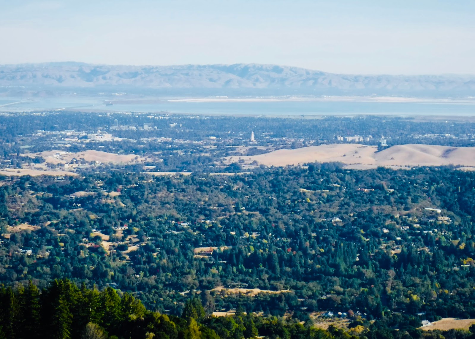
We took the Anniversary Trail uphill to the summit of Windy Hill, where we enjoyed spectacular views of the Pacific Ocean to the west and San Francisco Bay and the Bay Area cities to the east. We could see all the way north to Mount Tamalpais to the north, Mount Diablo to the northeast, and Mount Hamilton to the southeast. Salesforce Tower in downtown San Francisco was visible. We could also make out the path of the San Andreas Fault below to the east. George and Karen flew their kite on the breezy and treeless summit. Continuing south on the Anniversary Trail we stopped at the outhouse at the picnic area.
The Lost Trail continues south and east, entering a beautiful stand of Douglas fir as it intersects the Hamms Gulch Trail. This trail makes the long descent from the moist Douglas fir ridge to the drier oak woodland below. We saw lots of buckeye seeds hanging on leafless buckeye trees and madrone trees bursting with bright orange berries. At the bottom we approached Corte Madera Creek, which still has flowing water despite the lack of recent rain. There we saw a banana slug and a sandstone rock with seashells embedded.
Heading north on the Spring Ridge Trail we saw many magnificent ancient white oaks and live oaks. One of them is a granary tree with lots of holes made by acorn woodpeckers and stocked with acorns. We even watched a woodpecker inserting acorns into the holes. Continuing north we approached the sag pond, which formed where the earth sags along a bend in the San Andreas Fault. There we were amazed to see a great blue heron attempting to eat a snake.
TO GET THERE... From Highway 280 take Sand Hill Road or Alpine Road to Portola Road in Portola Valley


No comments:
Post a Comment