Saturday, October 24, 2015

A Seaside Walk at Wilder Ranch State Park

It was a glorious day for a one-way hike along the coastal bluffs and beaches of Wilder Ranch State Park. To accomplish this walk we assembled at the parking strip along on the coast side of  Highway 1 just east of the road into Wilder Ranch State Park. Highway 1 goes east-west, not north-south along this stretch of the coast. We then carpooled about 3 miles west (north) on Highway 1 to the dirt parking lot for access to 4 Mile Beach. This parking lot is not identified, so you have to know where it is.

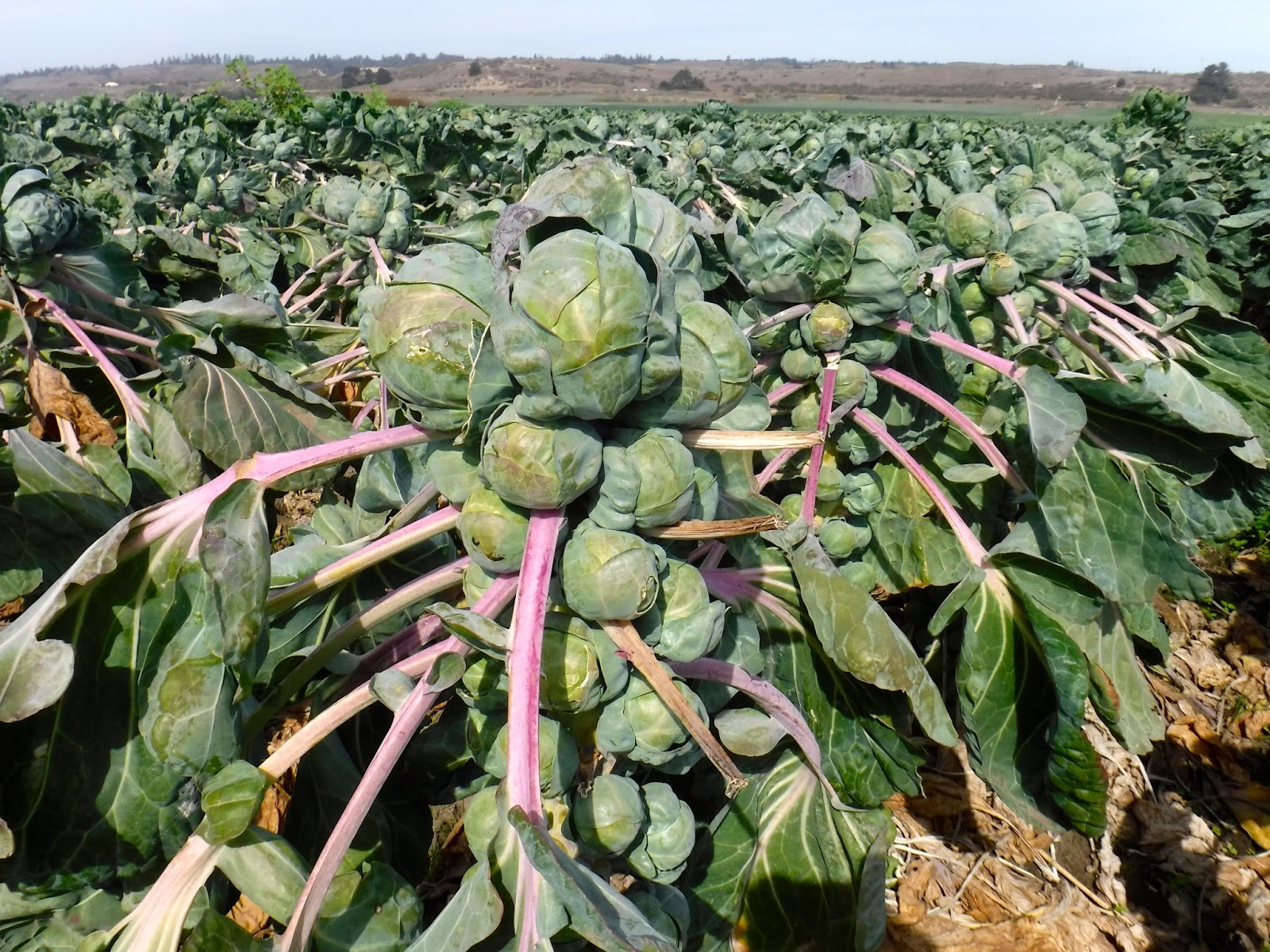
From there we walked downhill to the beach and then hiked up to the coastal bluffs. From there we followed the Ohlone Bluff Trail, which contours the coastal cliffs on the marine terrace. This terrace, which was once the sea floor before being uplifted, is now home to vast fields of Brussels sprouts and artichokes, which require cool summers and mild winters.  Along this trail we saw sea otters nestled in the kelp beds. We stopped for lunch at Strawberry Beach, where some of us explored tide pools and examined a brittle star attached to a piece of kelp. Low tide occurred at 2:38 pm.

After lunch we took a use trail down to Sand Plant Beach, and then up the other side and back to the coastal bluff, where we saw at least a hundred harbor seals resting on a rock. Pausing to admire a view, someone saw an osprey roosting on a cliff overlooking the ocean. Otherwise known at "fish eagles",  these powerful predators plunge talons first into the ocean to grab fish. Attached osprey photo by Mamatha Rao.

We then left the trail briefly for a short excursion to the Fern Grotto, a beach cave with ferns growing from the ceiling. Some of our group used flashlights to explore the deep dark interior of the cave. From there we saw many beautiful views as we headed on to the Wilder Ranch historic site near the main parking lot. We saw the old farm house, the horse barn, the workshop, and the Balcoff adobe which was built in 1839 by a Russian ship deserter who married a Mexican lady and fathered


17 children.

TO GET THERE... The main entrance is off Highway 1 about 2 miles west of Santa Cruz and 42 miles south of Half Moon Bay. There is an entrance fee and a large parking lot, though you can park for free on the seaward side of Highway 1 just east of the entrance road.

Saturday, October 17, 2015

San Mateo County Memorial County Park Loop Hike

Today my College of San Mateo class enjoyed a 5 mile hiking tour of San Mateo County's oldest county park. San Mateo County Memorial Park was established in 1924 as a memorial to the citizens of this county who died in the First World War.

We carpooled from the Woodside Town Hall parking lot in Woodside  to the Hoffman Flat Trailhead on Wurr Road, which intersects Pescadero Road. If you park here there is no entrance fee to enter the county park. We then walked north on Wurr Road, crossing Pescadero Creek, and entering the park on the left side of Wurr Road. From there we entered an ancient old-growth redwood grove and visited an old picnic area with stone barbecues built by the WPA in the 1930's. Some of the students entered a hollow lot lying in a horizontal position with a hole just the right size for poking your head out.

After visiting the largest tree in the park we were surprised to come upon wedding decorations at the amphitheater. We were the only ones there at the time. We then walked through the Azalea Flat Campground and then took the Homestead Trail to where it intersects the Pomponio Trail, which crosses Pescadero Road to the northern part of the park.

The Pomponio Trail climbs uphill to make a big loop that affords the best views in the park. Along the way we saw big-leaf maples beginning to display their fall foliage, banana slugs, bright red honeysuckle berries, edible ripe gooseberries, white snowberries, hedge nettles in bloom, and brilliant red wild fuchsia flowers. Wild fuschias, which are pollinated by hummingbirds, are one of the few native wildflowers that bloom this time of year.  From the Pomponio Trail we turned left onto the Mt. Ellen Summit Trail and then downhill on the Mt. Ellen Nature Trail, crossing Pescadero Road again to the main entrance to the park.

After visiting the memorial grove some of our group visited the camp store for an ice-cream cone. We then posed for photos at a picturesque hollowed-out old-growth redwood that you can walk through. After returning to our cars on Wurr Road I used my hiking stick to knock about 20 pounds of heirloom pears from a huge old pear tree on the other side of the road.

TO GET THERE... From Skyline Boulevard, take Highway 84 (La Honda Road) west from the town of La Honda and turn left (south) onto Pescadero Road. The Wurr Road turnoff is just east of the main entrance to San Mateo County Memorial Park.

Sunday, October 11, 2015

Sam McDonald County Park loop hike

Yesterday my De Anza College class explored the first and second growth redwood groves at Sam McDonald County Park.

From the main parking lot we crossed Pescadero Road and headed uphill on the Towne Trail, with a slight detour on the Big Tree Trail to see an enormous ancient redwood with large reiterations high up the trunk. The ferns on the forest floor looked more dried out than I have ever seen them. If we have a wet winter, and the drought ends, this month could be the driest these mountains have been in centuries.

The Towne Trail climbs above the redwoods into a grassland ridge top, where we enjoyed the sight of a large bobcat wandering across the grassy slopes, oblivious to our presence. I have attached two photos sent to me by Tobias Rasokat, who accompanied us on the hike. We stopped to examine the bright red berries of Solomons seal and honeysuckle plants, as well as poison oak and abundant lichen, which is an indicator of good air quality.  We then made the tenth of a mile side trip to the Sierra Club's hikers hut. The people staying there for the weekend let us come in to look around. It has electric lights, an electric stove, small refrigerator, and a wood-burning stove. You can contact the Loma Prieta chapter of the Sierra Club to make reservations. The normally spectacular view of the Pescadero Creek watershed was obscured by low clouds.

From there we headed downhill to have lunch among the old-growth redwoods at the Heritage Grove along Alpine Creek. Despite the drought, we found two banana slugs. After lunch we retraced our steps to the Heritage Grove Trail and headed west and back to the parking lot.


TO GET THERE... Take Pescadero Road about three miles west from the town of La Honda.


Saturday, October 3, 2015

Castle Rock State Park Field Trip

Today my College of San Mateo class enjoyed a 4 mile ramble around Castle Rock State Park, with time to climb on rocks and explore shallow caves.

We met at the Castle Rock main entrance along Skyline Boulevard south of where it intersects Highway 9. Some of the students found parking along Skyline in order to avoid the $8.00 parking fee. Others of us parked in the park parking lot because all the parking spaces along Skyline Boulevard were taken. Because this is a very popular park on weekends with nice weather it is a good idea to get there early.

The weather was perfect as we headed down the Saratoga Gap Trail to the junction at the bridge. From there we paused to admire an enormous Douglas fir tree and then hiked uphill to Goat Rock. After viewing the mighty rock from below, we took the trail to the uphill side, which is much easier to ascend. I took a section of thick rope out of my pack to assist the more adventurous of the students as they made it to the top for spectacular views of the entire San Lorenzo River valley, Monterey Bay, and the Santa Lucia Mountains south of the Monterey Peninsula.  We then visited a hollowed out sandstone boulder to see the concretions called "cannonballs", which are the result of differential accumulations of calcium carbonate.

Our next stop was an amazing rock called "Hole-in-the-Wall" Rock, which can only be accessed by climbing to the top of the rock and then lowering yourself through a small hole into the hollowed out interior.  We then stopped for lunch at a magnificent old coast live oak.

After lunch we took the Interconnector Trail south to the Saratoga Gap Trail and headed east to complete our loop. We enjoyed the sight of red wild fuchsias, one of the few flowering plants this time of year. After observing the meager trickle that is called Castle Rock Falls, we headed uphill to the the intersection with the Castle Rock Trail. Those who had enough hiking for one day continued on the Saratoga Gap Trail to the parking lot. The more adventurous students charged uphill to Castle Rock, the namesake for the park. You couldn't design a more fun and interesting rock. Castle Rock has overhangs, knobs, and caves that make it fun for skilled rock climbers and those of us who just enjoy crawling into dark places.

TO GET THERE... The main park entrance is on the west side of Skyline Boulevard about 2.5 miles south of Saratoga Gap (the intersection of Skyline Boulevard and Highway 9).