Sunday, April 24, 2011

A Spring Hike at Santa Teresa County Park


Santa Teresa County Park, in southern San Jose, is a great place for an April hike. I took my College of San Mateo Peninsula Parks & Trails class there on Saturday, April 23. We met at the Pueblo Group Picnic Area and then walked a 4.5-mile loop that included Hidden Springs Trail, Ridge Trail, Coyote Peak Trail, the Coyote Peak Loop, the Rocky Ridge Trail, and the Mine Trail. We ate lunch and enjoyed beautiful views from atop Coyote Peak. The trail up to Coyote Peak is quite steep in places.


The Rocky Ridge Trail follows a serpentine outcropping with beautiful wildflowers that are adapted to growing in the inhospitable serpenitine soil. Associated with earthquake faults, serpentine is high in magnesium and low in nitrogen and phosphates, which inhibits the growth of most plants, including the non-native grasses that dominate most of the open fields in the Bay Area. By stunting the growth of these non-natives, serpentine allows native wildflowers such as goldfield, poppies, creamcups, and linanthus to thrive.


Santa Teresa County Park has more than 14 miles of trails for hikers, equestrians, and bicyclists. Leashed dogs are allowed on the trails. It has group picnicking, a field archery range, and an eighteen-hole golf course.


TO GET THERE... from Highway 85 or 101 take Bernal Road exit and head west.

Friday, April 22, 2011

Calero County Park


April is the perfect month to explore Calero County Park. On the dry, east side, of the Santa Cruz Mountains, this steep and rugged park becomes hot and dry by the middle of May.


On Saturday, April 16 I lead my Foothill-De Anza class on a 5.8-mile ramble through Calero, with lots of great views, wildflowers, gnarled old oaks, a flock of wild turkeys and a coyote. From the main entrance off McKean Road, we we hiked up the Los Cerritos Trail to the Pena Trail and then walked a figure-8 route that combined the Javalina Loop Trail with the Figueroa and Vallecito Trails. We enjoyed sweeping views of the Calero Reservoir to the north, the Santa Clara Valley to the east, and Mount Umunhum and Loma Prieta to the west.


TO GET THERE...from Highway 101, south of San Jose, take Bailey Avenue west, and McKean Road south to the park entrance.


Tuesday, April 12, 2011

Hidden Villa Hike


On Saturday, April 9 I lead my College of San Mateo class on a 5.5-mile hike around Hidden Villa and into Rancho San Antonio Open Space Preserve. Hidden Villa is a 1,60o acre private non-profit farm and wild land preserve in Los Altos Hills which is open to the public Tuesday through Sunday from 9:00 am until sunset. It closes during the summer for summer camp for children 7-16 years old.


First, we toured the organic garden, cow barn, poultry palace and piggery, the White Barn and White House, both built in 1860, and then the home of Frank and Josephine Duveneck, built in 1930.


From there we started our grand excursion on the Long Bunny Loop , the Creek Trail, The Ewing Hill Trail, The Black Mountain, Hostel Trail, and the Toyon Trail. Parts of this route are rather steep, but worth the effort. The creeks are flowing, the wildflowers are blooming, and the views are splendid.


Frank and Josephine Duveneck purchased this property in 1924. They willed that upon their deaths it be open to the public for educational and recreational purposes under the authority of the Hidden Villa Trust.


Saturday, April 2, 2011

The Waterfalls of Uvas Canyon


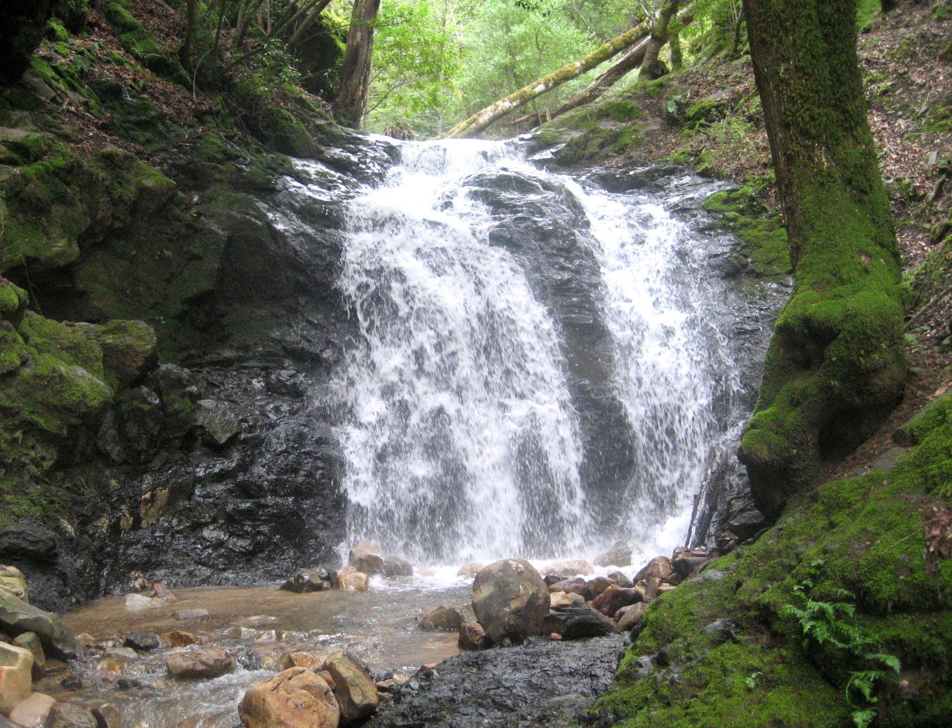
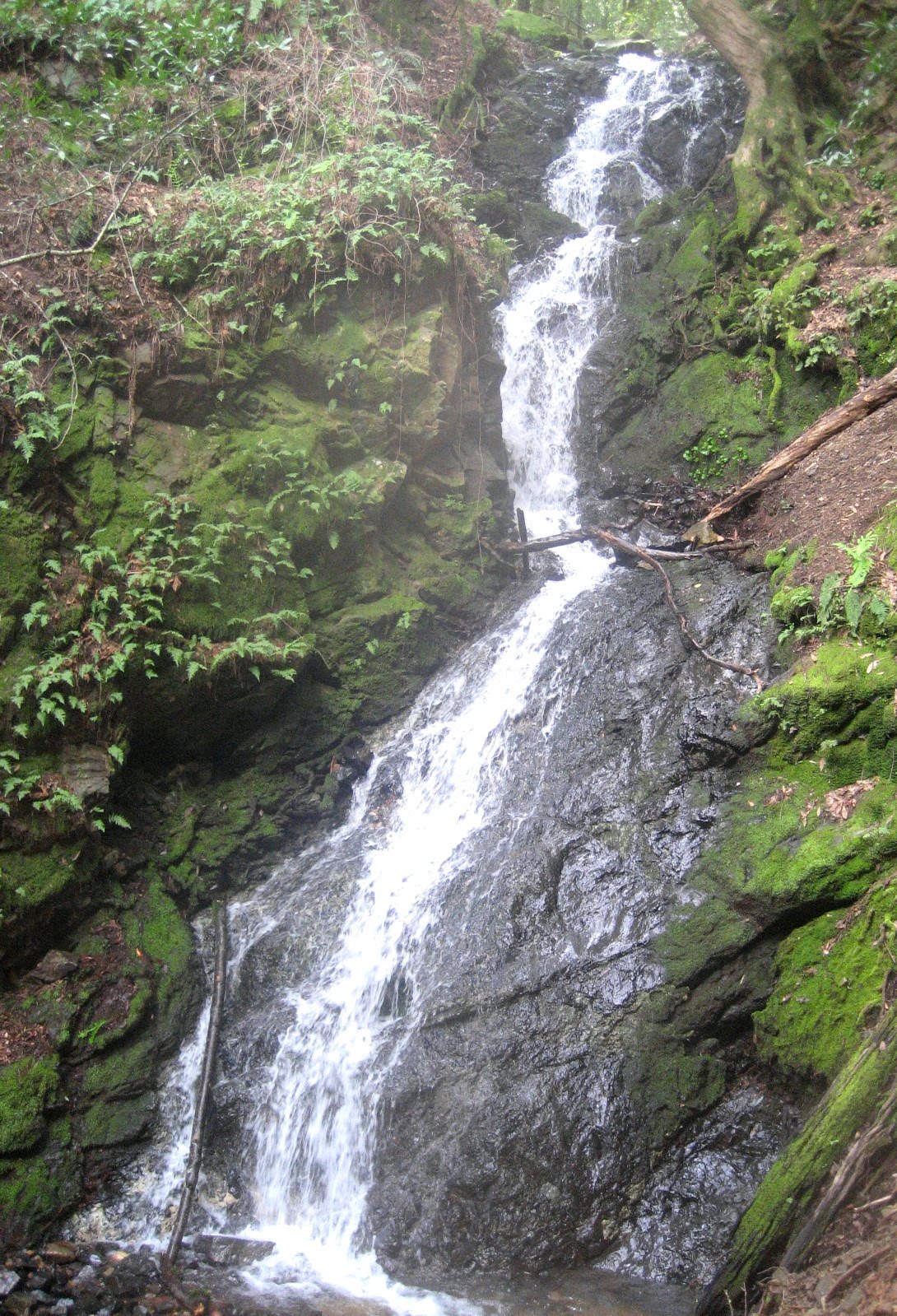
Late winter and early spring is a great time to see the waterfalls in Uvas Canyon County Park. On April 2 I lead my Foothill-De Anza College class on a 4.5 mile outing on the Waterfall Loop Trail, the Contour Trail, the Alec Canyon Trail, and the Triple Falls Trail. We stopped along the way to enjoy the surging waters plunging over Black Rock Falls, Basin Falls, Upper Falls and Triple Falls.


The weather was dry and cool; and because of heavy rain a week earlier, there was plenty of water in the creeks. However, we almost didn't get to the trail head. Because of a mudslide onto Croy Road, just east of the resort community of Sveadal, only one lane was open. A sign at the beginning of Croy Road said that the road was only open to residents. I almost instructed our class to turn around and go to Calero County Park instead. But then a driver going in the opposite direction said that the road is open and that we could get through. We then proceeded with no difficulty. The moral is that you shouldn't believe everything you read on a sign.


To reach Uvas Canyon County Park from Highway 101, take Bailey Avenue west, and then go south on McKean Road/Uvas Road, and then head west on Croy Road to the park.

Monday, March 28, 2011

A Rainy Day Hike


Because of rainy weather, only nine students from my College of San Mateo Peninsula Parks & Trails class showed up at the Page Mill Road/280 park & ride lot for the field trip on Saturday, March 26. A vote was taken and it was decided to go to nearby Arastradero Preserve for a short hike instead of doing the scheduled hike at Uvas Canyon County Park.


Despite the rain and muddy trails, we had an enjoyable two hour ramble, which included an exceptional view of a coyote. With proper apparel, a walk in the rain can be a most enjoyable experience. Remember this: there is no bad weather, just unfortunate wardrobe decisions.

Tuesday, March 22, 2011

Pomponio's Cave


Jose Pomponio Lupugeym (1799-1824) was an Miwok Indian rebel, and leader of an outlaw band he called "Los Insurgentes". He was brought to Mission San Francisco de Assisi (Mission Dolores) as a young child from the Bolinas Bay area, and was raised by the Franciscans to be a loyal Spanish subject.

Instead, Pomponio became rebellious, and questioned why the Spaniards should rule over the native people of California. He escaped mission life, and found other disaffected Indians to join his band. They raided missions, pueblos, and ranchos over a wide area, as far south as Mission Soledad, and as far north as Mission San Rafael. He was captured and executed by firing squad in 1824.

In 1823 is it known that Pomponio made his headquarters in a cave in a remote canyon in the Santa Cruz Mountains. A Santa Clara News article dated November 12, 1869 identified his cave as being near a waterfall in Devil's Canyon, in what is now Long Ridge Open Space Preserve. This canyon is steep and dangerous, and there is no trail. A friend and I explored this area and investigated several caves in the sandstone rock outcroppings. One cave in particular meets the description of the Ponponio's hideout. It is next to a waterfall, has a flat floor, and is large enough for a band of outlaws to take shelter. There is no way to prove it, but this is the best candidate I have found. Photos are included..

Thursday, February 17, 2011

Illegal Marijuana Plot Found While Hiking


Last week a friend and I explored a remote and rugged part of Long Ridge Open Space Preserve called Devils Canyon. The way into this canyon is steep and treacherous. Deep in the canyon we stumbled across a marijuana garden that was probably abandoned last Fall.
To make the marijuana difficult to identify from the air, the forest was cleared in several small sections. Plastic hose delivered water from Peters Creek. A pickax, saw, backpack, pesticides, and a sack of fertilizer were nearby.
Illegal marijuana cultivation is a real environmental and public safety issue in our local parks. Anyone who stumbles across one of these clandestine plots can be in real danger. This is most likely to happen if you hike cross-country, especially from Spring to Fall.
Illegal marijuana plots result in damage to native vegetation, terracing of hillsides, impounding of streams, and garbage accumulation. It can take years for the land to heal. If you come across one of these plots, leave as quickly as possible and then contact the appropriate public land agency.