Saturday, May 21, 2011

portola Valley Trails


Portola Valley is an affluent community with a wonderful trail system that combines residential and wild land areas. On and near the San Andreas Fault, this land is a pleasant patchwork of woodlands and grassy meadows. It is particularly enticing in the Spring when the grasses are green and the wildflowers are in bloom. This land is forested mainly with oak, madrone, and bay.


On Saturday, May 21, I lead my CSM class on a field trip that started at the parking lot along Alpine Road at the intersection of Willowbrook. We combined the Old Spanish Trail with the Toyon Trail. We stopped for lunch at the large sag pond, on a main fracture of the San Andreas Fault, at the intersection of the Old Spanish Trail and the Lake Trail. Because of the cool, moist Spring, we saw many wildflowers, including columbine, flax, blue dick, globe lilly, winecup clarkia, and one beautiful spotted coral root orchid (see photo). Our route covered about 5.5 miles.


TO GET THERE... From Highway 280 take Alpine Road south and park near its intersection with Willowbrook Drive.

Sunday, May 8, 2011

Early May on Russian Ridge


I hiked twice in the past week in Russian Ridge Open Space Preserve. The first two weeks of May is the perfect time to visit this ridge top preserve because of the extraordinary abundance of wildflowers. On Monday, May 2 I hiked with some friends on a warm and sunny day. The next Saturday, May 7, the weather had turned cool and foggy for my College of San Mateo field trip. On my May 2 hike we saw a long-tailed weasel running through the grass (see attached photo).


From the parking lot on Alpine Road just west of Skyline Boulevard you can take a scenic 4.8-mile loop by combining the Ridge Trail, Hawk Trail, and Ancient Oaks Trail. This route combines spectacular views (on a clear day) with oak woodlands. Be sure to ascend Borel Hill, the highest point in San Mateo County, for the view. You can expand this route by entering Coal Creek, Skyline Ridge, and Monte Bello Open Space Preserves.


TO GET THERE... from Skyline Boulevard park at the parking lot at the intersection of Skyline and Alpine Road. You can also park at the vista point along Skyline Boulevard about 1.5 miles north of Alpine Road.

Sunday, May 1, 2011

Pescadero Creek County Park


Pescadero Creek County Park has so many hiking opportunities it is necessary to make numerous excursions to really get to know this park. The park itself covers 6,486 acres of forest and mountains. You can also take trails into adjacent Sam McDonald County Park, San Mateo County Memorial Park, and Portola State Park. There is also a trail that links this park to Big Basin State Park.


On Saturday, April 30 I lead my Foothill-De Anza College class on a 4.8-mile outing from the Tarwater Trailhead on Camp Pomponio Road. We headed downhill on the Tarwater Trail, pausing at a huge old fire-scarred redwood, and then continued to the remains of the Moore, Fisher, & Troupe lumber mill, built in 1915, where we examined an iron boiler that was left behind. We then checked out the Tarwater Trail Camp and then enjoyed a leisurely lunch on the banks of Pescadero Creek. After lunch we continued on the Tarwater Trail Loop and stopped to see where tar is seeping out of the earth in Tarwater Creek. We also stopped at the site of a pioneer homestead, where one building and a row of pear trees remain. We saw lots of beautiful Douglas iris and mule ear flowers along the way.


TO GET THERE...From Highway 280 take Page Mill Road west (uphill) to Skyline Boulevard, where it turns into Alpine Road. Continue on Alpine Road and turn left (south) on Camp Pomponio Road, which takes you to the trail head parking lot. To find Camp Pomponio Road look for a sign to the County Correctional Facility and to Pescadero Creek County Park.

Sunday, April 24, 2011

A Spring Hike at Santa Teresa County Park


Santa Teresa County Park, in southern San Jose, is a great place for an April hike. I took my College of San Mateo Peninsula Parks & Trails class there on Saturday, April 23. We met at the Pueblo Group Picnic Area and then walked a 4.5-mile loop that included Hidden Springs Trail, Ridge Trail, Coyote Peak Trail, the Coyote Peak Loop, the Rocky Ridge Trail, and the Mine Trail. We ate lunch and enjoyed beautiful views from atop Coyote Peak. The trail up to Coyote Peak is quite steep in places.


The Rocky Ridge Trail follows a serpentine outcropping with beautiful wildflowers that are adapted to growing in the inhospitable serpenitine soil. Associated with earthquake faults, serpentine is high in magnesium and low in nitrogen and phosphates, which inhibits the growth of most plants, including the non-native grasses that dominate most of the open fields in the Bay Area. By stunting the growth of these non-natives, serpentine allows native wildflowers such as goldfield, poppies, creamcups, and linanthus to thrive.


Santa Teresa County Park has more than 14 miles of trails for hikers, equestrians, and bicyclists. Leashed dogs are allowed on the trails. It has group picnicking, a field archery range, and an eighteen-hole golf course.


TO GET THERE... from Highway 85 or 101 take Bernal Road exit and head west.

Friday, April 22, 2011

Calero County Park


April is the perfect month to explore Calero County Park. On the dry, east side, of the Santa Cruz Mountains, this steep and rugged park becomes hot and dry by the middle of May.


On Saturday, April 16 I lead my Foothill-De Anza class on a 5.8-mile ramble through Calero, with lots of great views, wildflowers, gnarled old oaks, a flock of wild turkeys and a coyote. From the main entrance off McKean Road, we we hiked up the Los Cerritos Trail to the Pena Trail and then walked a figure-8 route that combined the Javalina Loop Trail with the Figueroa and Vallecito Trails. We enjoyed sweeping views of the Calero Reservoir to the north, the Santa Clara Valley to the east, and Mount Umunhum and Loma Prieta to the west.


TO GET THERE...from Highway 101, south of San Jose, take Bailey Avenue west, and McKean Road south to the park entrance.


Tuesday, April 12, 2011

Hidden Villa Hike


On Saturday, April 9 I lead my College of San Mateo class on a 5.5-mile hike around Hidden Villa and into Rancho San Antonio Open Space Preserve. Hidden Villa is a 1,60o acre private non-profit farm and wild land preserve in Los Altos Hills which is open to the public Tuesday through Sunday from 9:00 am until sunset. It closes during the summer for summer camp for children 7-16 years old.


First, we toured the organic garden, cow barn, poultry palace and piggery, the White Barn and White House, both built in 1860, and then the home of Frank and Josephine Duveneck, built in 1930.


From there we started our grand excursion on the Long Bunny Loop , the Creek Trail, The Ewing Hill Trail, The Black Mountain, Hostel Trail, and the Toyon Trail. Parts of this route are rather steep, but worth the effort. The creeks are flowing, the wildflowers are blooming, and the views are splendid.


Frank and Josephine Duveneck purchased this property in 1924. They willed that upon their deaths it be open to the public for educational and recreational purposes under the authority of the Hidden Villa Trust.


Saturday, April 2, 2011

The Waterfalls of Uvas Canyon


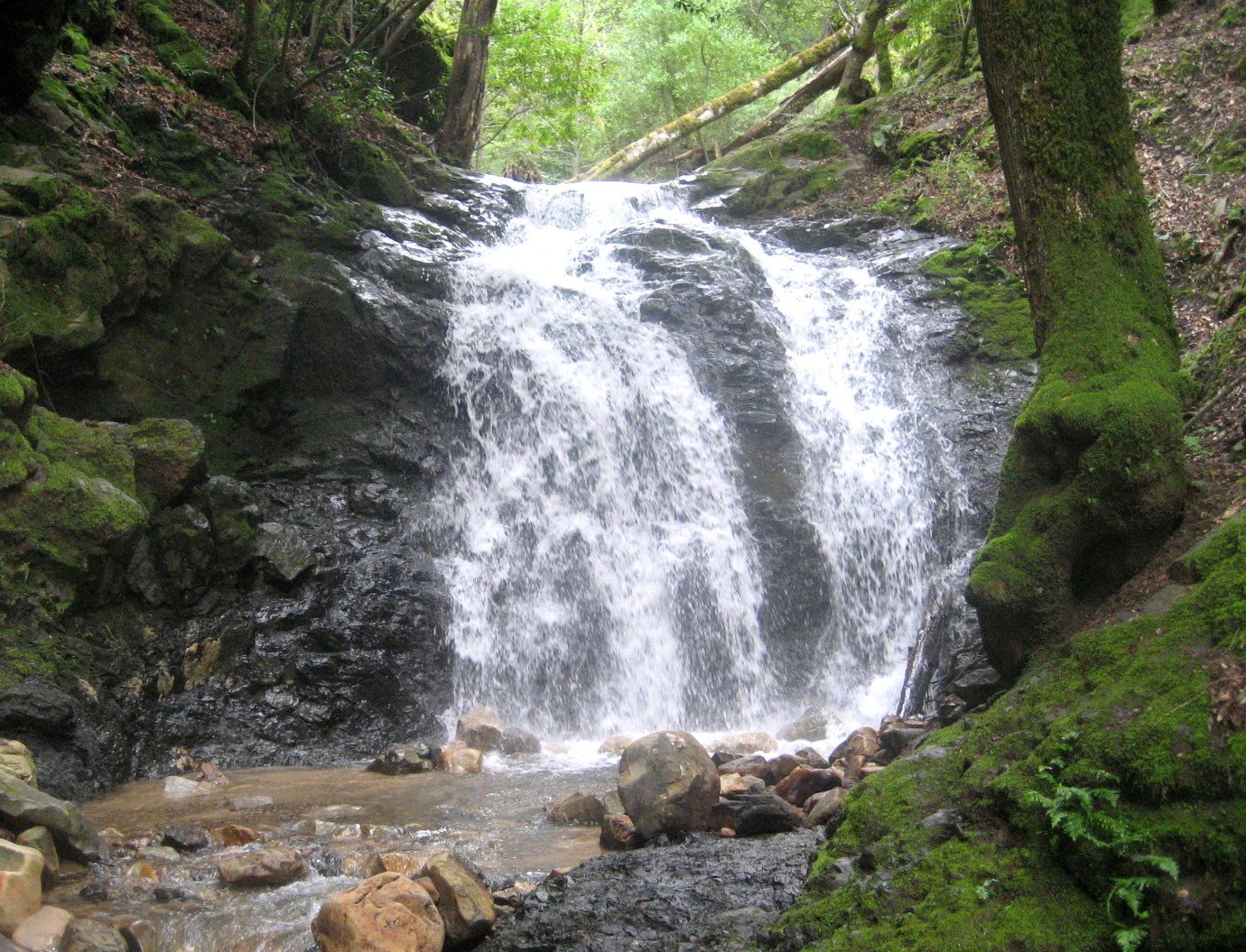
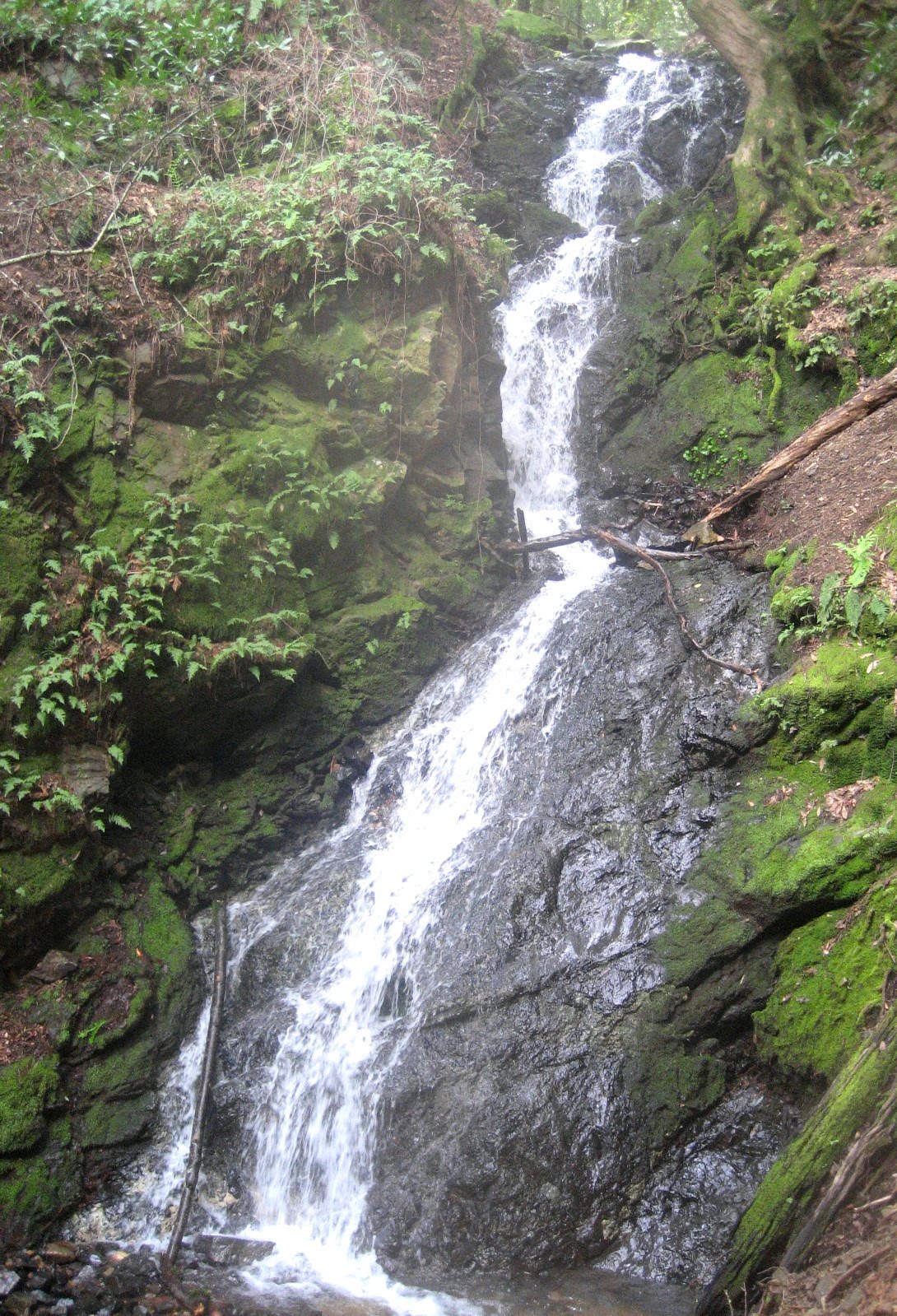
Late winter and early spring is a great time to see the waterfalls in Uvas Canyon County Park. On April 2 I lead my Foothill-De Anza College class on a 4.5 mile outing on the Waterfall Loop Trail, the Contour Trail, the Alec Canyon Trail, and the Triple Falls Trail. We stopped along the way to enjoy the surging waters plunging over Black Rock Falls, Basin Falls, Upper Falls and Triple Falls.


The weather was dry and cool; and because of heavy rain a week earlier, there was plenty of water in the creeks. However, we almost didn't get to the trail head. Because of a mudslide onto Croy Road, just east of the resort community of Sveadal, only one lane was open. A sign at the beginning of Croy Road said that the road was only open to residents. I almost instructed our class to turn around and go to Calero County Park instead. But then a driver going in the opposite direction said that the road is open and that we could get through. We then proceeded with no difficulty. The moral is that you shouldn't believe everything you read on a sign.


To reach Uvas Canyon County Park from Highway 101, take Bailey Avenue west, and then go south on McKean Road/Uvas Road, and then head west on Croy Road to the park.