Yesterday my De Anza College class enjoyed a 6-mile hike that began at the Tarwater Trail entrance. To get there you need to take narrow and winding Alpine Road west from where it intersect Skyline Boulevard. Continue past State Park Road, which goes to Portola State Park, and then look carefully on the left (south) side of the road for the entrance to Camp Pomponio Road, which you could easily miss. Look for a sign that says: Pescadero Creek County Park 7546 Alpine Road". It is across from Buffalo Valley Road. Take the narrow paved road with lots of potholes downhill to the locked gate and turn left into the parking lot.
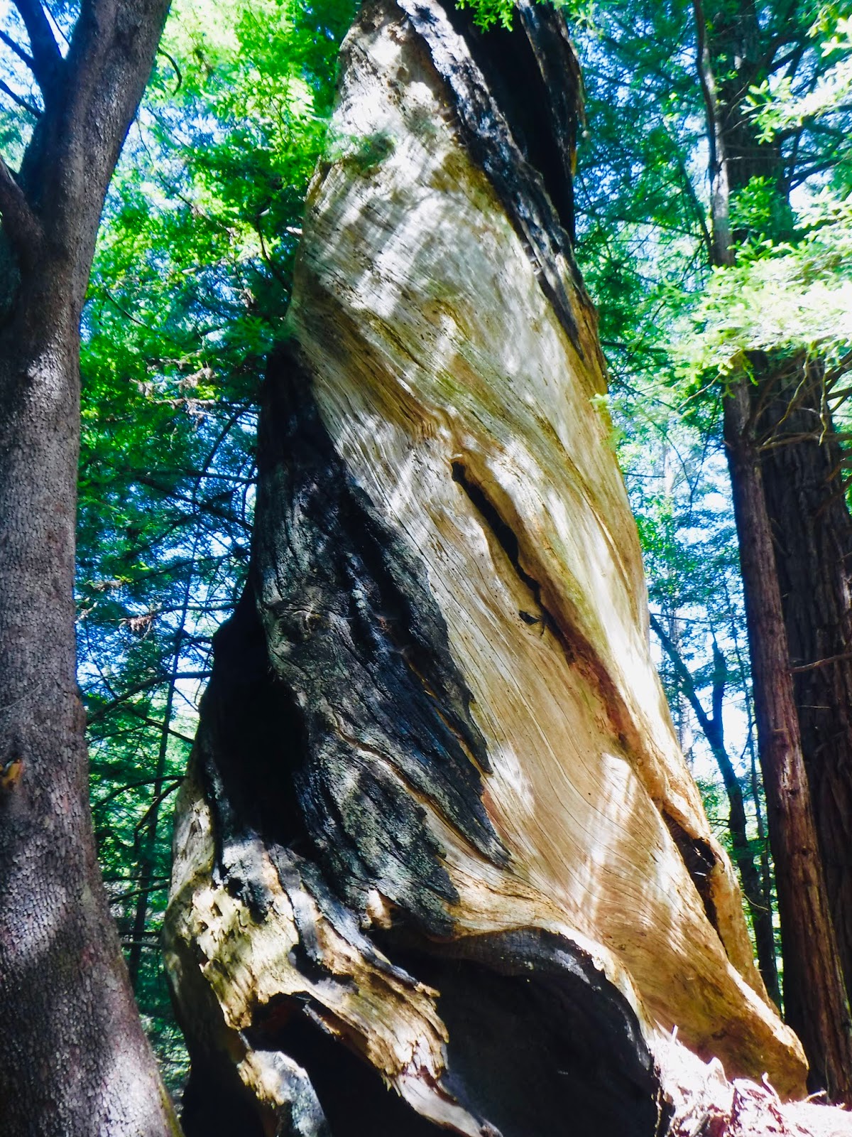
From the parking lot head downhill (south) on the Tarwater Loop Trail. It passes some large Douglas fir trees before entering the redwood forest. There is an especially large ancient redwood on the right side of the trail. A few years ago I measured it at 15.5 feet in diameter. Looking up you will see some large reiterations. The loggers spared that tree because the downhill side was hollowed out by fire.
Continuing downhill look carefully on the right for the remains of the Moore, Fisher, & Troupe saw mill, established in 1915. It used steam power to turn redwood logs into railroad ties. A large iron boiler lies on its side. Further south the trail intersects the Bridge Trail, which is an old logging road. Take this road to the left (downhill) and cross the bridge over Pescadero Creek. There is a good lunch spot on the south side of the creek. Pescadero Creek is the biggest creek in San Mateo County. It is recovering from decades of logging, which silted it up and made it uninhabitable to steelhead trout and coho salmon. The fish are beginning to return as the creek is restored.
After lunch we retraced our steps across the bridge and continued on the Bridge Trail to the Camp Pomponio Road, which connects with the second half of the Tarwater Loop Trail. From here it is all uphill and back to the parking lot. We left the trail for a couple of hundred feet at the Canyon Trail intersection to see why Tarwater Creek got its name. You can see tar oozing out of the ground in the creek bed.
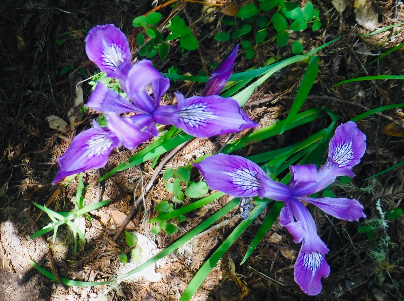
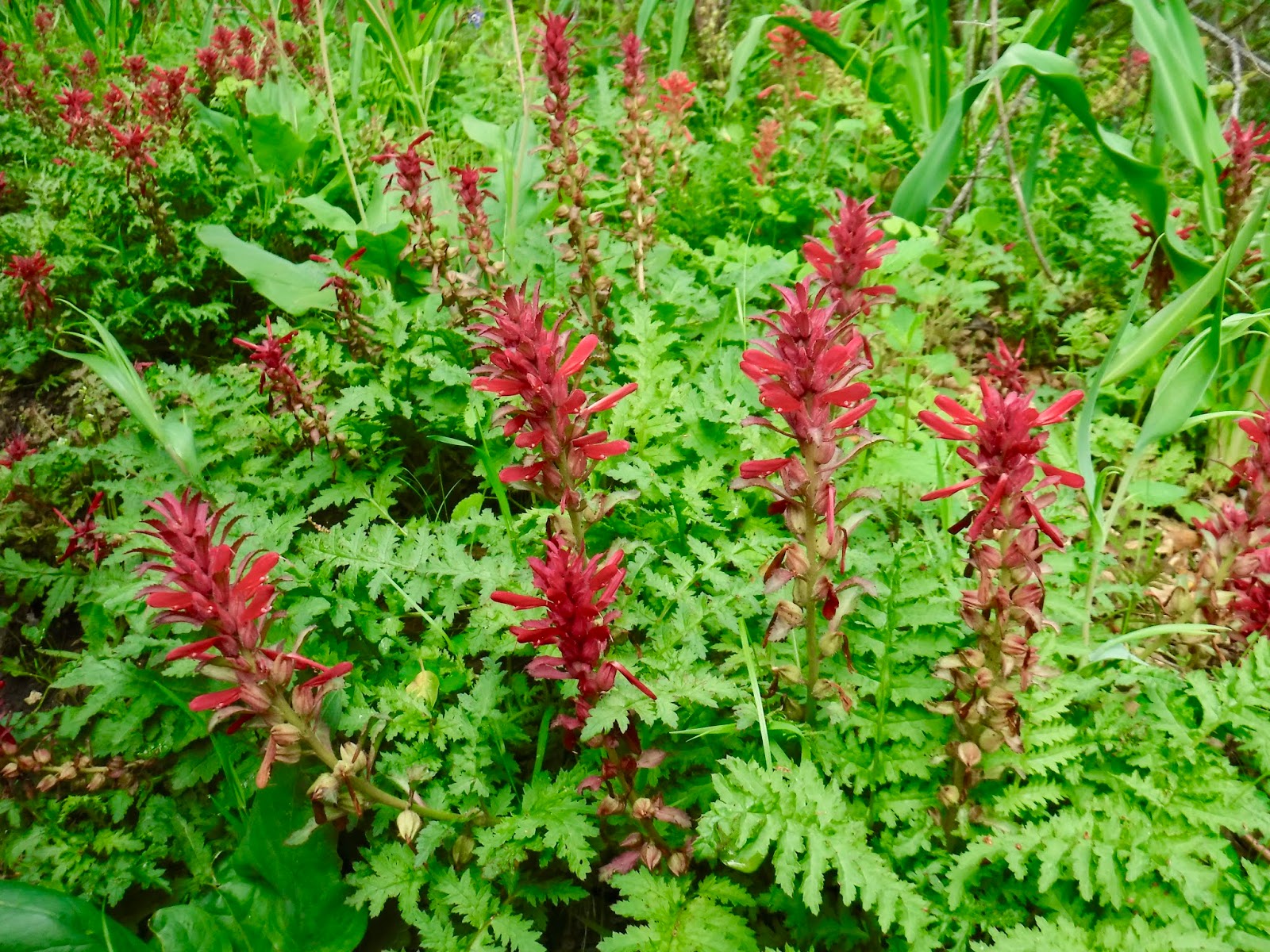
On this hike we saw thimbleberry


The banana slug's a lucky guy
He won't let romance pass him by
If another slug should meet
The couple soon is indiscreet
Whose the mother? You may ask
Each is ready for the task
It matters not whose male or miss
Their mating is a time of bliss
And when they're through
Upon their slime
They leave to mate another time